Bushfire & Natural Hazards CRC
The Hazard Notes links includes regularly updated Seasonal Bushfire Outlook publications

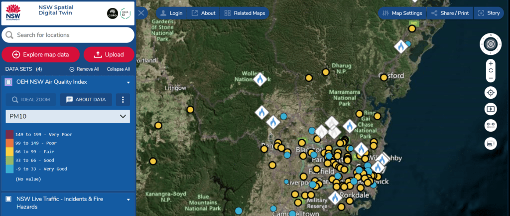
NSW Digital Twin
This mapping service brings together a large amount of information and was recommended by the NSW Biushfire Equiry as a service to be extended. You can for example combine traffic and fire information including hsitorical data.

National Aerial Firefighting Centre
The NAFC is responsible for contracting the aerial fire fighting fleet on behalf of all state governments. You can see details of the current fleet on the site.

Landgate Firewatch
This is a WA initiative with a range of information including hotspots, greenness, lightning and burnt areas maps.

